


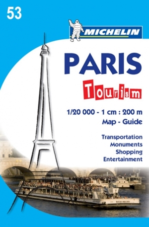
This is a great little map of Paris, it covers the area within the the Boulevard Peripherique (the dual carriageway ring road that surrounds the French capital). All the important buildings and sights and depicted in 3D for easy indentification and the twenty arrondissement (administrative districts) are clearly marked in different colours. All roads are named and metro stops are clearly marked. Other points of interest such as hospitals, taxi stands, post offices, places to eat and boardimg points for river crusies are also shown. The map includes a couple of insets showing La Defense, the business district and the Stade de France in more detail. There's also a useful Paris Metro map included. The flipside of map is filled with extensive tourist information on sights, shopping, activities and more. Michelin reference no. 53.
Love this? Share it around!
ISBN:
9782067150362
Format:
Sheet map, folded
Dimensions:
13cm x 11cm
RRP:
$12.99
ABOUT THE AUTHOR
Michelin
Related Titles
-
GuidesBali Pocket PrecinctsAlison Pace
-
GuidesMindfulness Travel JapanSteve Wide & Michelle Mackintosh
-
Guides, Lifestyle, MapsUltimate Road Trips: Aotearoa New ZealandBrett Atkinson
-
Guides, MapsBudget Travel AustraliaRhyanna Smedley
-
GuidesAsian Girls are Going PlacesMichelle Law
-
GuidesVantasticKate Ulman